Drone Data Is the New Oil: How India’s Sky Economy Is Taking Off
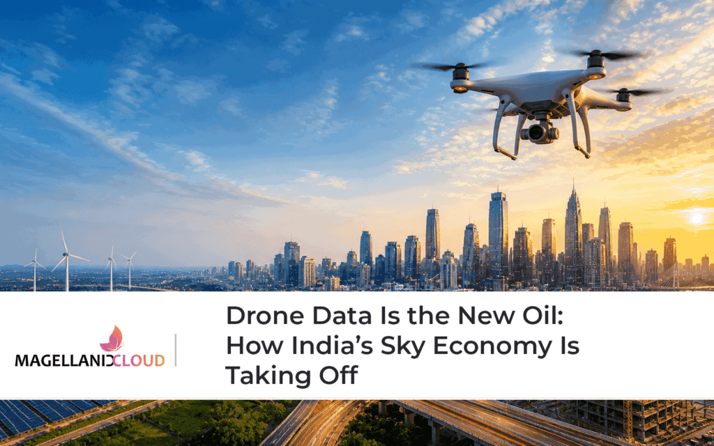
A drone hovers above a highway stretch at dawn. It is not capturing cinematic footage. It is scanning traffic density, mapping road conditions, detecting anomalies, and transmitting live data to a command centre miles away. Within minutes, that data triggers decisions about rerouting traffic, dispatching maintenance teams, and preventing potential accidents.
The drone itself is not a real asset.
The data it generates is.
Across India, drones are rapidly evolving from aerial gadgets into data engines, powering what is increasingly being called the “sky economy.” Just as oil once fuelled industrial growth, drone-generated data is emerging as a critical resource driving modern digital ecosystems.
The Rise of India’s Drone Economy
India’s drone sector has seen significant momentum over the past few years, driven by policy reforms, technological advancements, and growing demand across industries.
The Government of India’s Drone Rules 2021 simplified licensing processes, reduced compliance burdens, and opened the skies for commercial applications. Complementing this, the Production Linked Incentive (PLI) scheme for drones aims to boost domestic manufacturing and innovation.
According to the Ministry of Civil Aviation, these initiatives are designed to position India as a global hub for drone technology and services.
Industry estimates suggest that India’s drone market could grow rapidly in the coming decade, with applications spanning agriculture, infrastructure, logistics, surveillance, and disaster management.
But the real story lies not in the drones themselves, but in the data economy they enable.
Drone Data: The New Strategic Asset
Every drone flight generates vast volumes of data, high-resolution imagery, geospatial information, thermal readings, and environmental metrics.
This data, when processed and analysed, becomes actionable intelligence.
According to the World Economic Forum, drones are increasingly being used as data collection platforms that enable real-time insights across sectors.
In agriculture, drone data helps monitor crop health and optimise irrigation. In infrastructure, it enables predictive maintenance. In urban environments, it supports surveillance and traffic management.
The value chain has shifted: drones → data → insights → decisions → outcomes
The drone is merely the first step. The real value lies downstream.
Aerial Intelligence Meets GIS
One of the most powerful aspects of drone data is its integration with Geographic Information Systems (GIS).
GIS platforms allow drone-generated data to be layered with additional datasets such as land records, weather patterns, infrastructure layouts, and demographic information. This creates a comprehensive view of physical environments.
For example, in urban planning, drone data combined with GIS can help map city growth, identify infrastructure gaps, and optimise resource allocation.
According to the United Nations, geospatial technologies, including drones and GIS are essential for sustainable development and infrastructure planning.
This integration transforms raw aerial imagery into contextual intelligence.
Real-Time Monitoring: A New Standard
Traditional data collection methods often involve delays. Surveys, manual inspections, and periodic reporting create time gaps between observation and action.
Drone-based monitoring eliminates these delays.
Drones can capture and transmit data in real time, enabling immediate analysis and response. This is particularly critical in sectors such as:
- disaster management
- infrastructure monitoring
- border security
- traffic management
According to IDC, real-time data processing is becoming a key driver of operational efficiency across industries.
In a fast-moving environment, real-time intelligence is not an advantage. It is a necessity.
The Sky Economy Beyond Agriculture
While agriculture is often highlighted as a primary use case for drones, the sky economy extends far beyond farming.
In infrastructure, drones are used to inspect bridges, highways, and construction sites. They detect structural issues, monitor progress, and reduce the need for manual inspections.
In logistics, drones are being explored for last-mile delivery, especially in remote areas.
In public safety, drones support surveillance, crowd monitoring, and emergency response.
The World Bank notes that digital technologies, including drones, are playing an increasingly important role in infrastructure development and service delivery.
Each of these applications contributes to a broader ecosystem where aerial data drives decision-making.
Data Processing: Where Value Is Created
Collecting drone data is only the beginning. The real challenge and opportunity lies in processing it.
Raw data must be:
- cleaned and structured
- analysed using AI and machine learning models
- integrated with enterprise systems
- visualised through dashboards and command centres
According to McKinsey & Company, organisations that effectively leverage data analytics outperform peers in productivity and decision-making.
Without analytics, drone data remains underutilised. With analytics, it becomes a strategic asset.
Challenges in Scaling the Sky Economy
Despite its potential, scaling drone-based data ecosystems presents several challenges.
Regulatory frameworks must balance innovation with safety and privacy. Infrastructure for data storage and processing must keep pace with increasing volumes. Skilled talent is required to manage drone operations and data analytics.
Data governance is another critical concern. As drones capture detailed information about environments and activities, ensuring secure and ethical use of data becomes essential.
The OECD emphasises the importance of responsible data governance in emerging technologies.
Addressing these challenges will determine how effectively India can scale its sky economy.
Scandron and Magellanic Cloud: Powering the Sky Economy
At Magellanic Cloud Limited (MCL), we recognise that drones are not just hardware, they are gateways to intelligence.
Through Scandron, our drone and aerial intelligence vertical, we focus on transforming drone data into actionable insights.
Scandron’s capabilities include:
- capturing high-resolution aerial data using advanced drone platforms
- integrating drone outputs with AI-driven analytics systems
- combining aerial intelligence with GIS mapping for contextual insights
- enabling real-time monitoring and decision support across sectors
By aligning drone technology with MCL’s expertise in cloud infrastructure, data analytics, and AI, we create end-to-end solutions that convert aerial data into operational intelligence.
Our approach ensures that drone deployments are not isolated initiatives, but part of integrated digital ecosystems.
India’s Opportunity: Leading the Data-Driven Sky Economy
India has a unique opportunity to lead in the global drone data economy.
The country’s scale, diversity, and digital infrastructure create an ideal environment for innovation. From agriculture and infrastructure to urban planning and logistics, drone applications can address critical challenges at scale.
However, leadership will depend on more than adoption. It will require:
- strong data infrastructure
- advanced analytics capabilities
- skilled talent
- robust governance frameworks
The sky economy is not just about flying higher. It is about thinking smarter.
Conclusion: From Oil Wells to Data Streams
Oil powered the industrial age. Data powers the digital age.
In this new economy, drones act as the sensors that capture data from the physical world. Analytics platforms process this data. Decision systems translate it into action.
The result is a seamless loop where information flows from the sky to the ground, driving efficiency, safety, and growth.
India’s sky economy is just beginning to take off. As drones become more sophisticated and data ecosystems mature, their impact will only grow.
The future will not be defined by who owns the most drones.
It will be defined by who extracts the most value from the data they generate.